
Catawba Runaround 11x17 Map
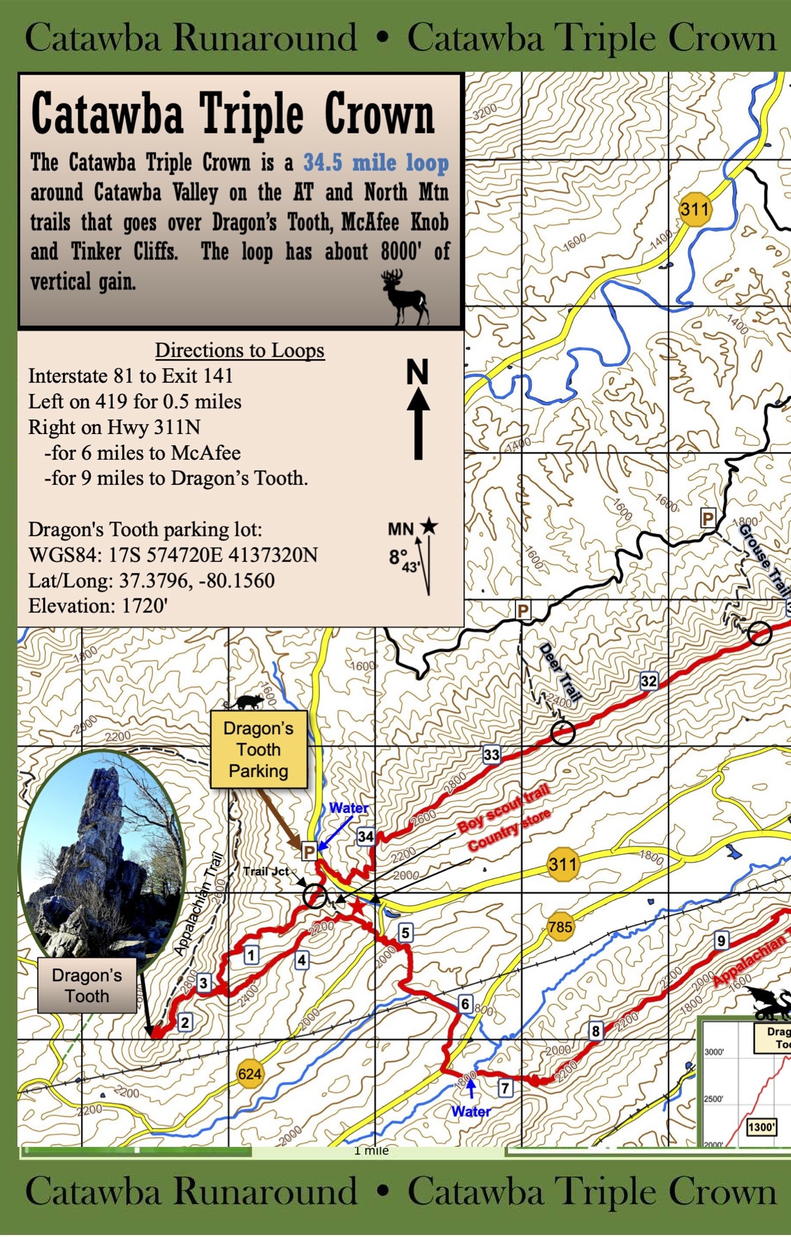 |
11x17 WATERPROOF Map of Catawba Triple Crown: 11x17 inch waterproof topo map of the Catawba Triple Crown (34 miles). The map includes the main trails highlighted with mile markers, an elevation profile, most of the roads and other trails in the area, shelters, water sources, and a host of other useful info! Suitable for use on the trail and for framing. Price: $20.00 |